


Choose a point
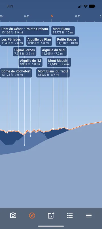
Open Map, from the bottom bar or the Menu. The map shows your position, your offline areas and the peaks you can see. Long-press to choose a point, then tap View from here: the views now show the peaks visible from that point, as if you stood there.
Use it to plan a hike, to check what you will see from a summit or a hut, or to name the peaks of a place you remember. My position brings the views back to where you are.
A photo with no location
The same map places a photo that does not say where it was taken. See Photos with peak names.