


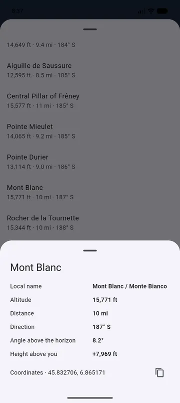
The details of a peak
- Altitude, Distance and Direction.
- Angle above the horizon and Height above you.
- Local name, when the peak has one in the local language.
- Isolation: Distance to the nearest higher summit.
- Coordinates, with Copy coordinates: decimal degrees, degrees-minutes-seconds or UTM.
The list of visible peaks
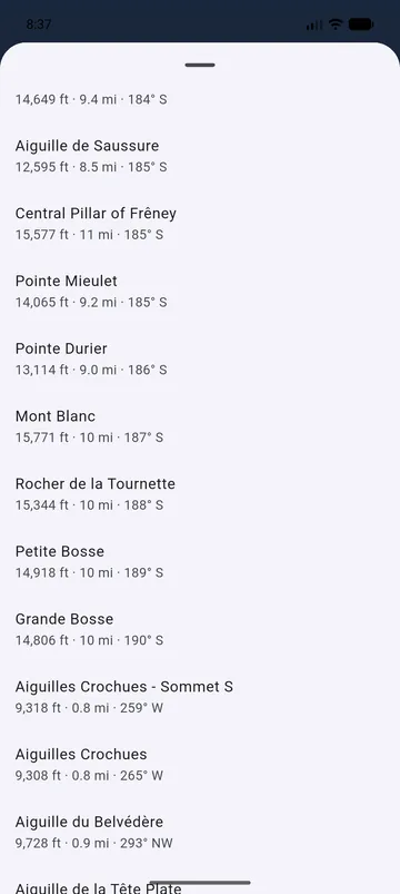
Visible peaks, in the bottom bar, lists the peaks you can see: those in front of you first, from left to right, then the others under Around you. Tap one for its details.
Where the names come from
Names come from OpenStreetMap and Wikidata. A peak may be missing if nobody has named it in OpenStreetMap yet.